The island model

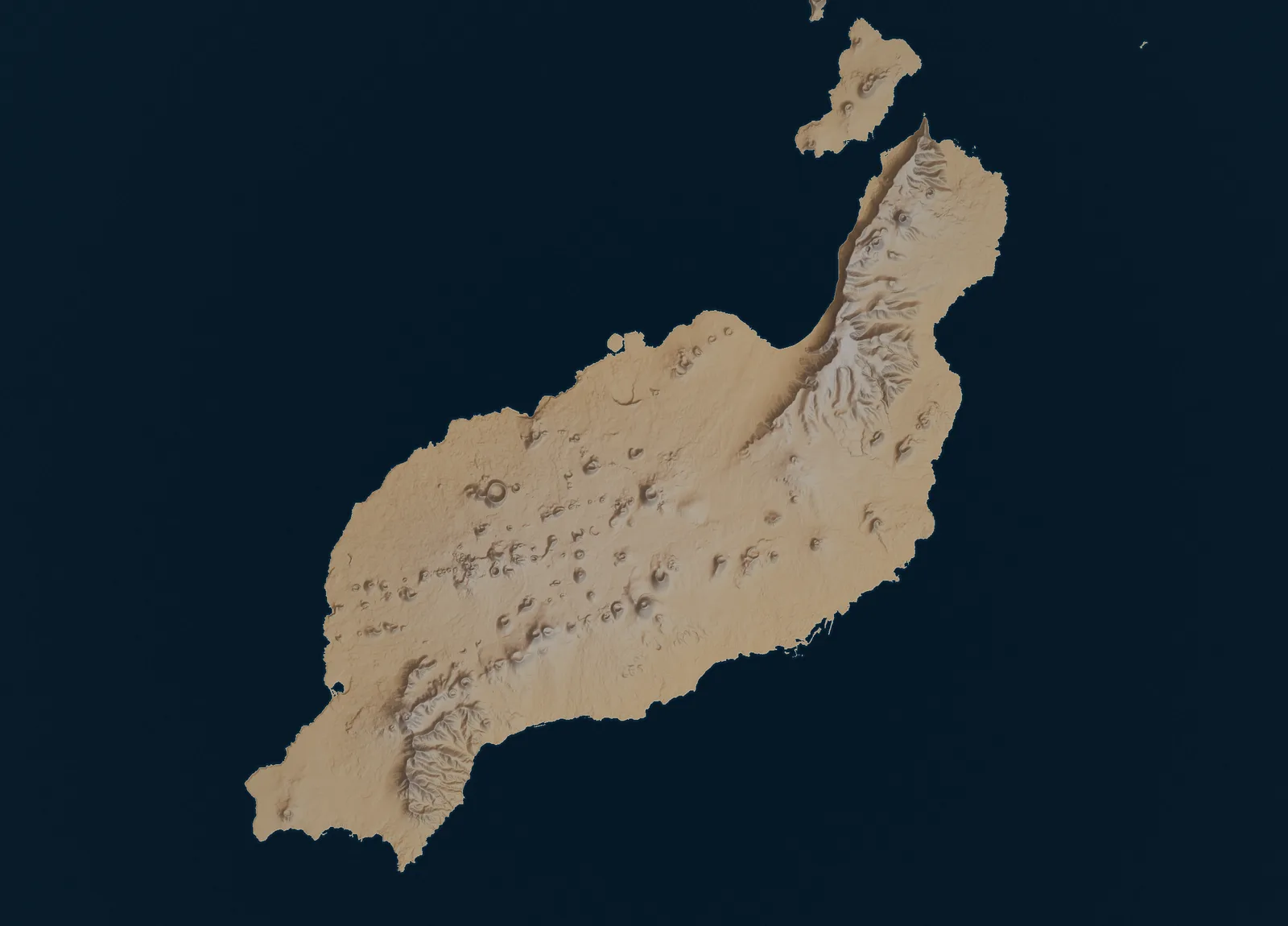
Lanzarote on its terrain

Every place this guide covers, on the real relief, with the lines that reach it. Choose a place for its bus answer.
Skip the map to the list of places
Lanzarote’s terrain with the bus lines this guide publishes Shaded relief of Lanzarote from Copernicus elevation data, with the Intercity Lanzarote lines this guide publishes and the places it covers. 161 (and the late 61): Lanzarote Airport to Matagorda, then on the road line 2 shares into Puerto del Carmen. Line 162 runs this stretch only northbound, from Puerto del Carmen to the airport and Arrecife 161, 61, 2, 24, 25: Matagorda to Puerto del Carmen, the road the airport lines and lines 2, 24 and 25 share. On the Intercity timetables of 7, 10 and 11 October 2026, line 24 ran from Arrecife to Puerto Calero only, and line 25 between Costa Teguise and Puerto Calero both ways. Line 162 runs this stretch only northbound, from Puerto del Carmen to the airport and Arrecife 161, 61, 24, 25: Puerto del Carmen to Puerto Calero; 161 and 61 go on towards Yaiza and Playa Blanca. On the Intercity timetables of 7, 10 and 11 October 2026, line 24 ran from Arrecife to Puerto Calero only, and line 25 between Costa Teguise and Puerto Calero both ways. Line 162 runs this stretch only northbound, from Puerto Calero to the airport and Arrecife 161, 61: Puerto Calero to Yaiza (61 calls at Uga on the way). Line 162 runs this stretch only northbound, from Yaiza to the airport and Arrecife 22, 23: Lanzarote Airport to Arrecife, where line 3 (with line 1 early and late, and line 25) goes on to Costa Teguise: a change of bus 1, 3, 25: Arrecife to Costa Teguise; line 3 runs all day, line 1 only early and late. On the Intercity timetables of 7, 10 and 11 October 2026, line 24 ran from Arrecife to Puerto Calero only, and line 25 between Costa Teguise and Puerto Calero both ways 2, 3, 24, 25: Arrecife past Lanzarote Airport, without stopping there, to Matagorda, then on the road lines 161 and 61 share into Puerto del Carmen. On the Intercity timetables of 7, 10 and 11 October 2026, line 24 ran from Arrecife to Puerto Calero only, and line 25 between Costa Teguise and Puerto Calero both ways 6, 60, 62: Arrecife to Tías. Line 62 goes on from Tías to Playa Blanca without a stop in between, a stretch the map does not draw 6: Tías to Puerto del Carmen 6: Puerto del Carmen to Mácher 60: Tías to Mácher 6, 60: Mácher via Uga to Yaiza, the road lines 6 and 60 share 161, 61, 6, 60: Yaiza to Playa Blanca. Line 162 runs this stretch only northbound, from Playa Blanca to the airport and Arrecife 16, 20, 52, 53: Arrecife via Mozaga and Tao to Tiagua, the road lines 16, 20, 52 and 53 share; 20 goes on to Caleta de Famara, 16, 52 and 53 to Mancha Blanca. On the timetables read on 5 October 2026 (Wednesday 7, Saturday 10 and Sunday 11 October), lines 52 and 53 ran on the weekday only 20: Tiagua via Muñique and Soo to Caleta de Famara 16, 52, 53: Tiagua via La Vegueta to Mancha Blanca, on to Tinajo and La Santa. On the timetables read on 5 October 2026 (Wednesday 7, Saturday 10 and Sunday 11 October), lines 52 and 53 ran on the weekday only 7, 52, 53: Arrecife via Tahíche to Villa de Teguise, the road line 7 shares with lines 52 and 53; 7 goes on to the Jardín de Cactus at Guatiza and the north. On the timetables read on 5 October 2026 (Wednesday 7, Saturday 10 and Sunday 11 October), lines 52 and 53 ran on the weekday only 7: Villa de Teguise via Teseguite to the Jardín de Cactus at Guatiza, on to Arrieta, Punta Mujeres, Haría and Máguez 9: Arrecife via Tahíche to the Jardín de Cactus at Guatiza, on to Arrieta, Punta Mujeres, Jameos del Agua and Órzola 7, 9: Jardín de Cactus (Guatiza) via Mala and Arrieta to Punta Mujeres, the road lines 7 and 9 share 7: Punta Mujeres via Haría to Máguez 9: Punta Mujeres via Jameos del Agua to Órzola. Not every departure calls at Jameos del Agua; the line 9 page lists those that do not Ferry: Órzola to La Graciosa (booked separately from the bus) 161 · 61 · 2 · 24 · 25 161 · 61 6 · 60 · 62 6 · 60 161 · 61 · 6 · 60 16 · 20 · 52 · 53 7 · 52 · 53 7 9 7 · 9 9 Arrecife Arrecife Lanzarote Airport Puerto del Carmen Costa Teguise Playa Blanca Playa Blanca Villa de Teguise Caleta de Famara Caleta de Famara Órzola Órzola La Graciosa La Graciosa Puerto Calero Yaiza Yaiza Mancha Blanca Mancha Blanca Jardín de Cactus Jardín de Cactus Haría Haría Jameos del Agua Jameos del Agua Máguez

Terrain Copernicus DEM GLO-30. © DLR e.V. 2010-2014 and © Airbus Defence and Space GmbH 2014-2018, provided under COPERNICUS by the European Union and ESA.

Bus lines on the map

  • From the airport
  • Arrecife to the south coast
  • Arrecife to the north
  • Arrecife to Mancha Blanca and Tinajo
  • The La Graciosa ferry

Places

15 places

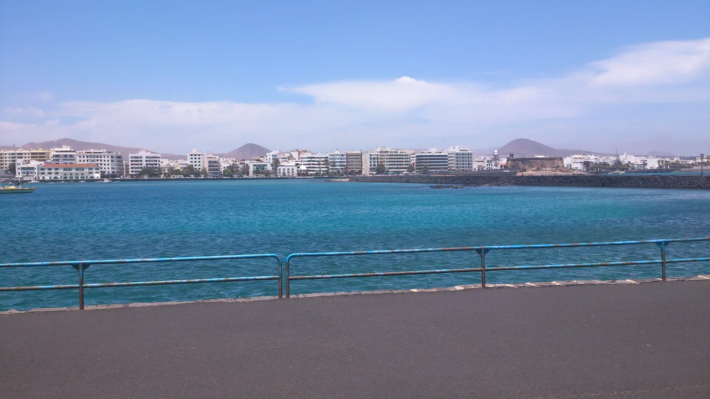
  1. Arrecife waterfront seen across bright blue water, with the city and hills beyond.
    Photo: Axel Cotón Gutiérrez, CC BY-SA 4.0, via Wikimedia Commons

    Towns

    Arrecife

    Lanzarote's compact capital: a lagoon walk, a city beach and the hub where the airport and intercity buses meet, with a dated board of every line.

    Scheduled service

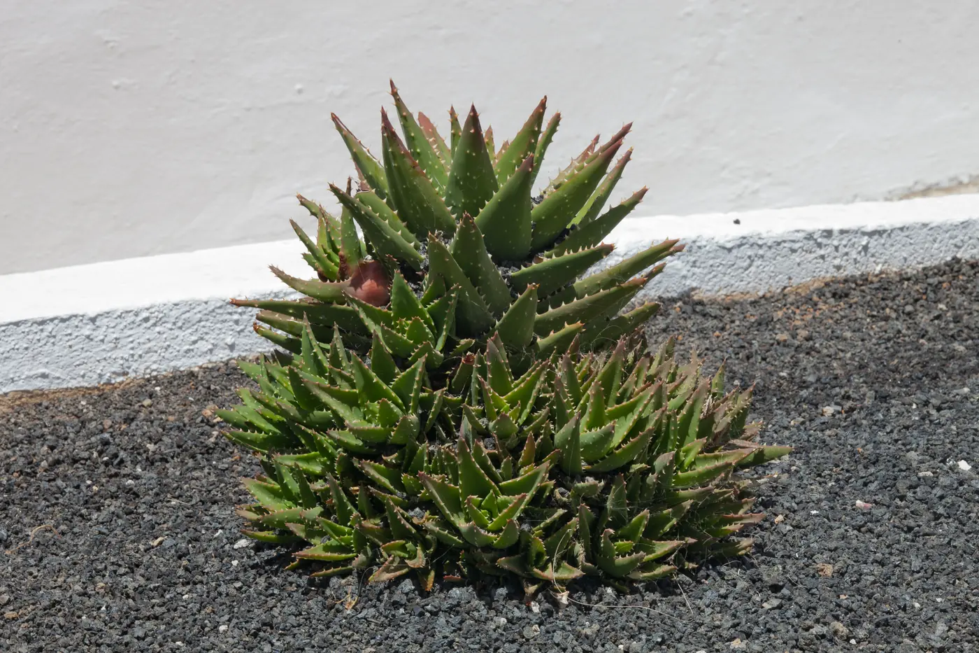
  2. Aloe growing above the seafront at Puerto del Carmen, Lanzarote.
    Photo: Luis Miguel Bugallo Sánchez (Lmbuga), CC BY-SA 3.0 (cropped), via Wikimedia Commons

    Coast and beaches

    Puerto del Carmen

    Lanzarote's long, lively resort coast by its landmark stops, from Matagorda to the C.C. Biosfera, with a dated board of lines 2, 6 and 161 to get there.

    Scheduled service

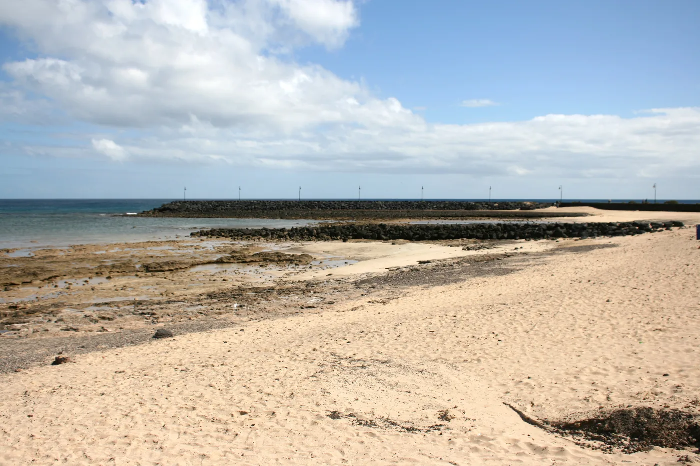
  3. Pale sand, volcanic rock and sheltered water at Playa de los Charcos in Costa Teguise.
    Photo: Frank Vincentz, CC BY-SA 3.0 (cropped), via Wikimedia Commons

    Coast and beaches

    Costa Teguise

    A beach day around Las Cucharas, El Jablillo and Playa Bastián on line 3 from Arrecife, with the airport change explained and a dated board of departures.

    Scheduled service

    Lines on the map
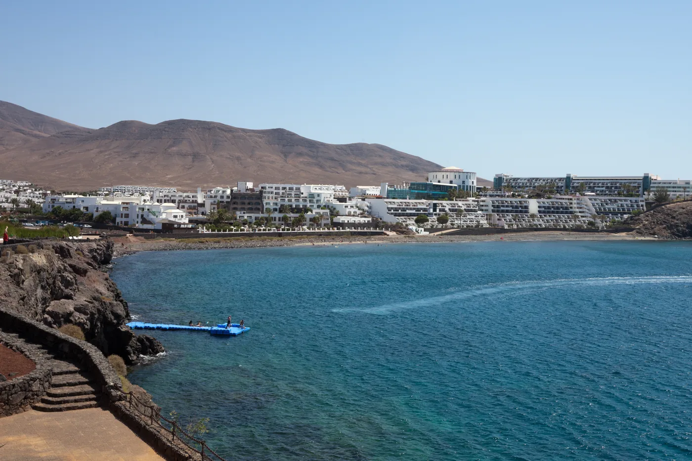
  4. Beach and promenade at Playa Blanca, Lanzarote.
    Photo: Luis Miguel Bugallo Sánchez (Lmbuga), CC BY-SA 3.0 (cropped), via Wikimedia Commons

    Coast and beaches

    Playa Blanca

    The town beach, Playa Flamingo and the harbour as anchors for a relaxed day in Lanzarote's south, on lines 6, 60, 62 and 161 with a dated board.

    Scheduled service

    Lines on the map
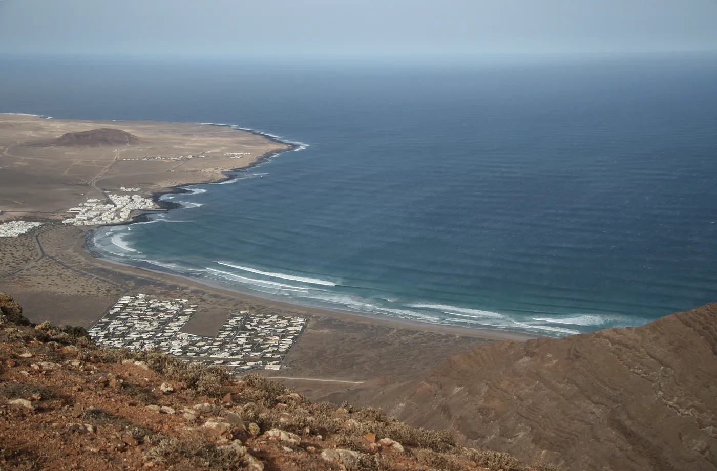
  5. View over Caleta de Famara and its long beach, Lanzarote.
    Photo: GerritR, CC BY-SA 4.0 (cropped), via Wikimedia Commons

    A line 20 day trip to Lanzarote's exposed north-west beach beneath El Risco: surf, cliffs and a fishing village, with the weekday board and the way back.

    Scheduled service

    Lines on the map
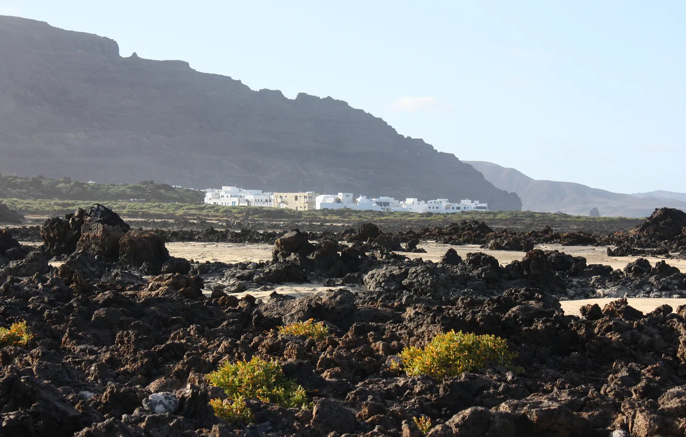
  6. Órzola's white village beyond a rugged field of black volcanic rock on Lanzarote's north coast.
    Photo: Dguendel, CC BY 4.0 (cropped), via Wikimedia Commons

    Towns

    Órzola

    Lanzarote's northern port as a coastal village visit on line 9, with the dated board and the La Graciosa ferry kept as a separate leg.

    Scheduled service

    Lines on the map

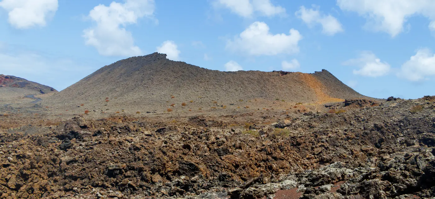
  7. Layered lava fields and a volcanic crater on the controlled Volcano Route in Timanfaya National Park.
    Photo: H. Zell, CC BY-SA 3.0 (cropped), via Wikimedia Commons

    Plan the park entrance and its controlled Volcano Route honestly: the public bus network does not deliver visitors to Montañas del Fuego.

    No bus stop here

    Not pinned on the map yet

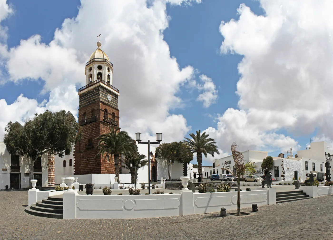
  8. The brick bell tower of the church of Nuestra Señora de Guadalupe beside the white houses and palms of Plaza de la Constitución in Villa de Teguise, under a blue sky.
    Photo: H. Zell, CC BY-SA 3.0 (cropped), via Wikimedia Commons

    Visit Lanzarote's former capital for a quiet heritage walk or its busy Sunday market, knowing that Villa de Teguise is not Costa Teguise.

    Scheduled service

    Lines on the map

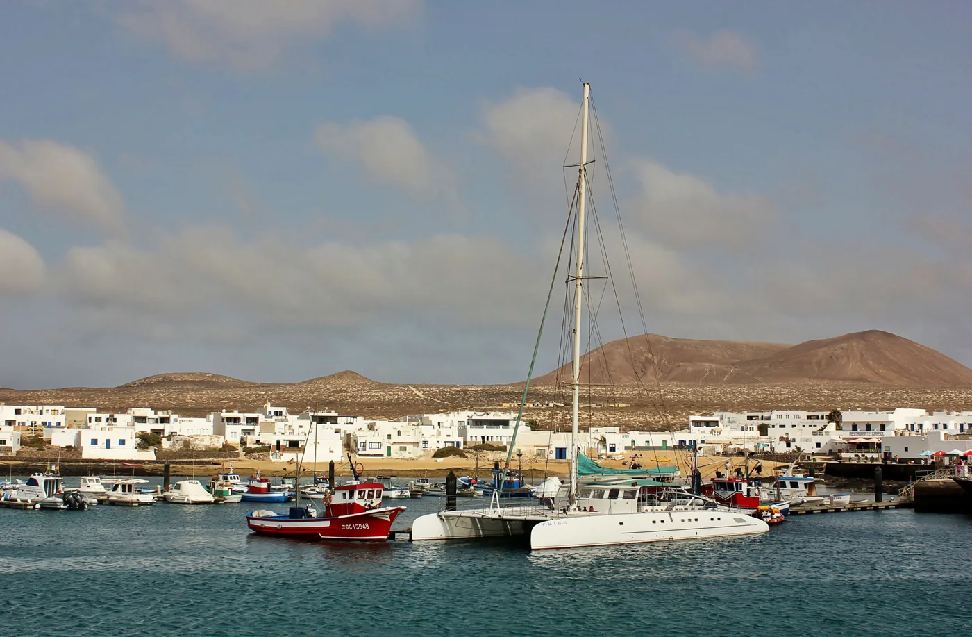
  9. Boats in Caleta de Sebo harbour with La Graciosa's white village and volcanic hills beyond.
    Photo: Justraveling.com, CC BY-SA 4.0 (cropped), via Wikimedia Commons

    Nature

    La Graciosa

    Line 9 to Órzola, then cross independently to Caleta de Sebo, keeping the day small enough to protect both the last suitable ferry and the bus back.

    Scheduled service

    Lines on the map
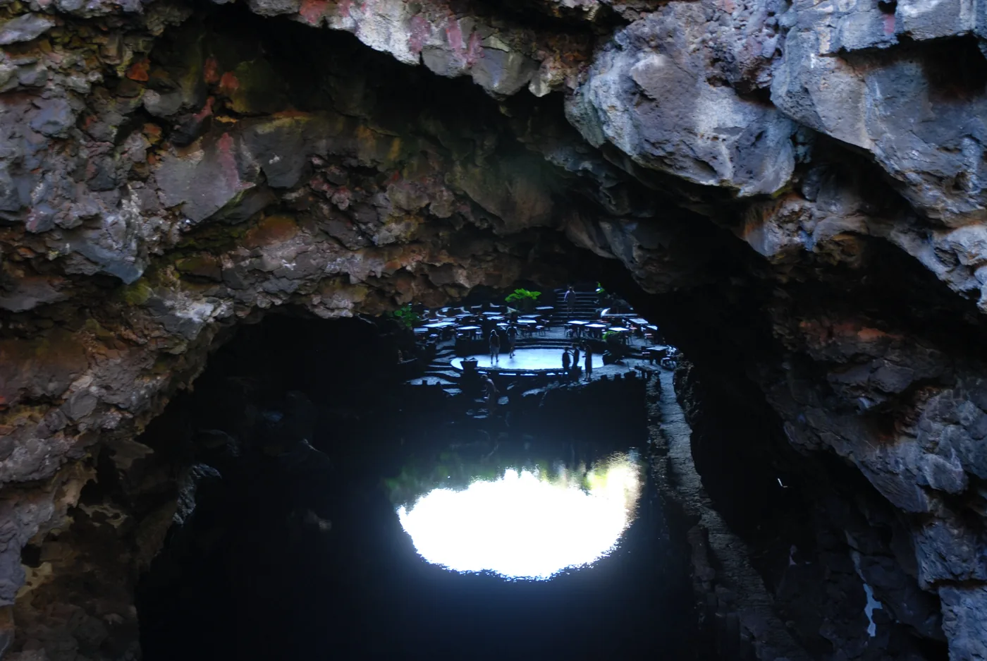
  10. The lake inside the volcanic tube at Jameos del Agua, seen from the dark cave mouth towards the lit terrace.
    Photo: Enric, CC BY-SA 4.0 (cropped), via Wikimedia Commons

    Culture

    Jameos del Agua

    Reach the first Centre of Art, Culture and Tourism created by César Manrique on line 9, and check that your departure calls at the Jameos del Agua stop.

    Scheduled service

    Lines on the map
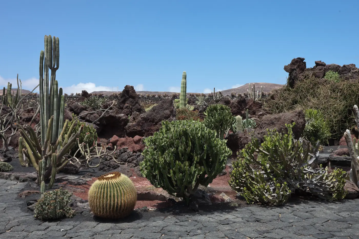
  11. Columnar and barrel cacti among dark lava rocks on a paved path in the Jardín de Cactus at Guatiza.
    Photo: Luis Miguel Bugallo Sánchez (Lmbuga), CC BY-SA 3.0 (cropped), via Wikimedia Commons

    A cactus garden laid out in a former volcanic quarry at Guatiza, with a stop of its own on lines 7 and 9 and a dated board of both lines' departures.

    Scheduled service
    Lines on the map

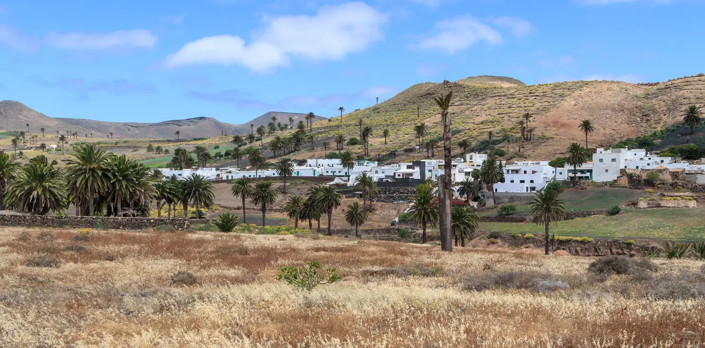
  12. White houses of Haría among palm trees, with dry grass in front and brown hills behind.
    Photo: H. Zell, CC BY-SA 3.0 (cropped), via Wikimedia Commons

    Towns

    Haría

    Lanzarote's green northern valley, César Manrique's last home and a Saturday market, reached on line 7 from Arrecife, with a dated board of departures.

    Scheduled service

    Lines on the map

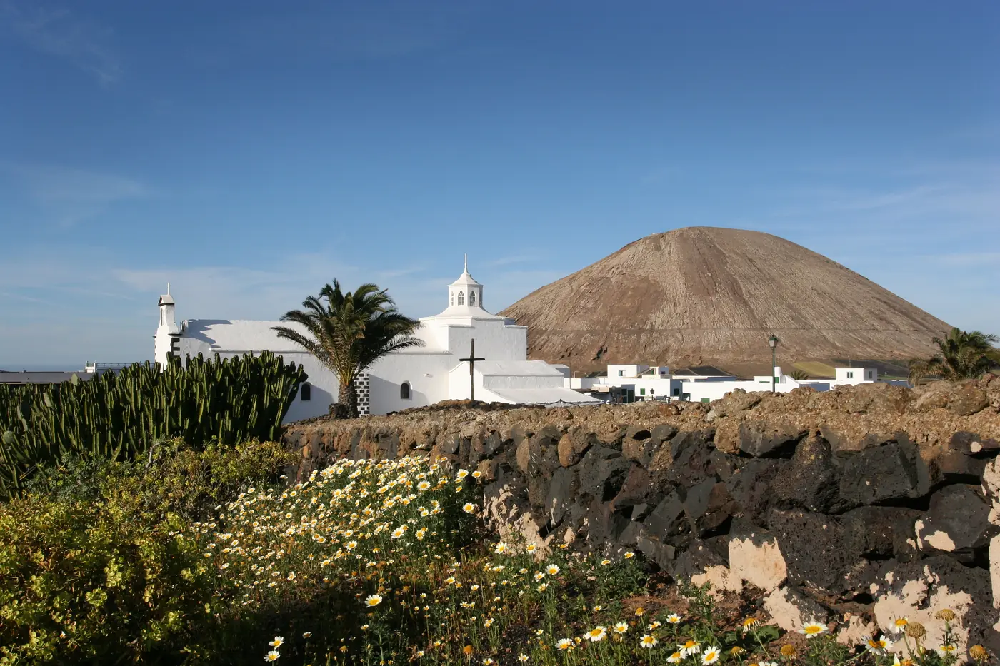
  13. The white church of Los Dolores in Mancha Blanca behind a lava-stone wall and daisies, with a volcanic cone beyond.
    Photo: Marc-Lautenbacher, CC BY-SA 4.0 (cropped), via Wikimedia Commons

    Nature

    Mancha Blanca

    A village on lines 16, 52 and 53 beside Timanfaya's visitor and interpretation centre; no verified bus reaches the Montañas del Fuego entrance.

    Scheduled service

    Lines on the map
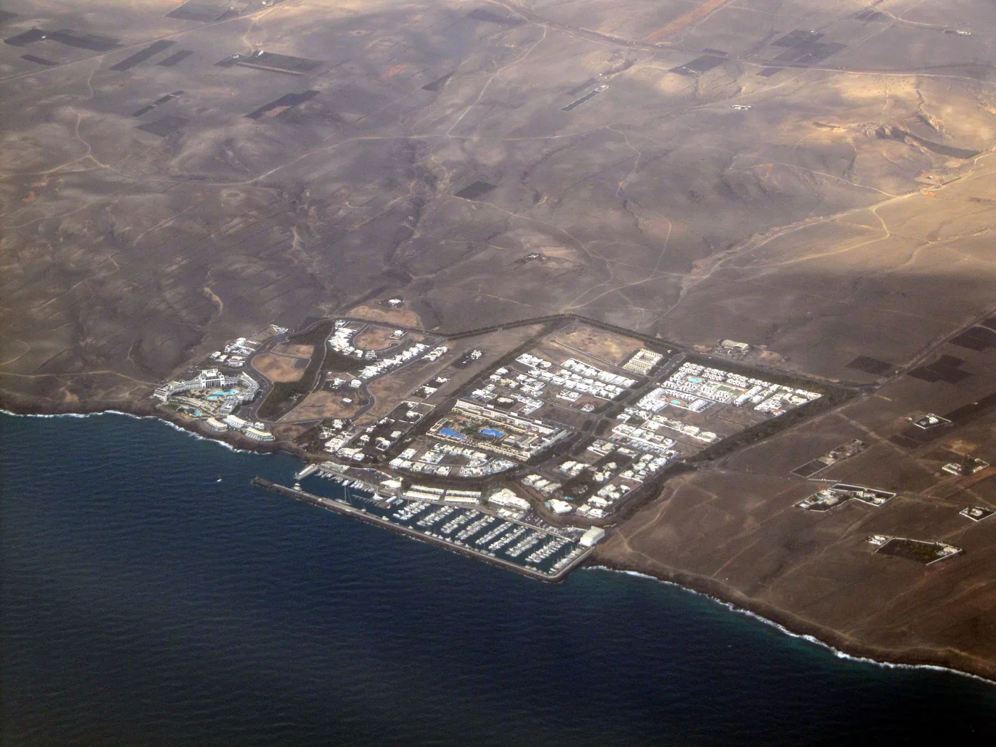
  14. Aerial view of Puerto Calero's marina and white buildings on the dry south coast of Lanzarote.
    Photo: Michiel1972, CC BY-SA 3.0 (cropped), via Wikimedia Commons

    A marina between Puerto del Carmen and Yaiza, served in both directions by the airport line 161, with a dated board of every call at Puerto Calero.

    Scheduled service

    Lines on the map
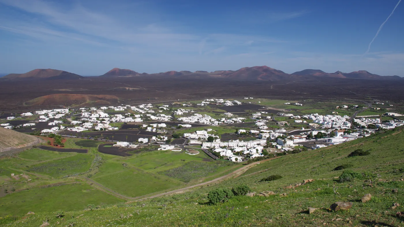
  15. Yaiza's white houses spread across green fields below the dark volcanic cones of Timanfaya.
    Photo: Jan Helebrant, CC BY-SA 2.0 (cropped), via Wikimedia Commons

    Towns

    Yaiza

    An award-winning old town on the edge of the 1730–1736 lava, on lines 60, 161 and 6 towards Playa Blanca, with a dated board of lines 6 and 60.

    Scheduled service

At a glance

What the map holds

Before you set out

The weather now, where it decides the day

Current readings from Open-Meteo at four places this guide covers. They are measurements, not a statement about any bus or boat.

Caleta de Famara

Readings load in your browser

Wind
—
Gusting
—
Temperature
—
Visibility
—

Costa Teguise

Readings load in your browser

Wind
—
Gusting
—
Temperature
—
Visibility
—

La Graciosa

Readings load in your browser

Wind
—
Gusting
—
Temperature
—
Visibility
—

Timanfaya National Park

Readings load in your browser

Wind
—
Gusting
—
Temperature
—
Visibility
—

Where the weather decides the plan

  • A day on Famara beach Strong waves and wind are characteristic here: follow local flags and qualified advice. Bring sun protection, water and a layer for wind.
  • The beaches of Costa Teguise Wind is part of Las Cucharas’ appeal for many visitors. Check conditions locally and choose sheltered water only when the day’s advice supports it.
  • A walk on La Graciosa Choose a shorter turnaround when heat, wind, footwear or ferry time make the full Caleta de Sebo–Montaña Amarilla circuit unwise. Carry water and sun protection.
  • A day in Timanfaya Carry water and sun protection, and do not leave marked visitor areas.

Readings are measurements from Open-Meteo. Whether a bus or a ferry runs is for Intercity Lanzarote and the ferry operator to say, not this panel.